


Lonely Planet
Australia Planning Map
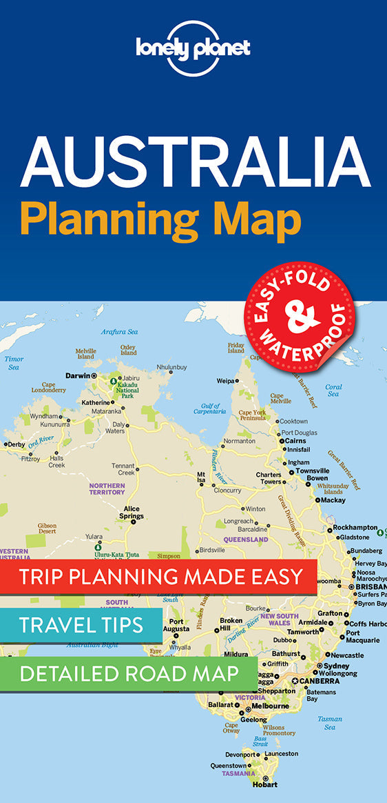
Durable and waterproof, with a handy slipcase and an easy-fold format, Lonely Planet Australia Planning Map is your conveniently-sized passport to traveling with ease.
Get more from your map and your trip with images and information about top country attractions, itinerary suggestions, a transport guide, planning information, themed lists and practical travel tips. With this easy-to-use, full colour navigation tool in your back pocket, you can truly get to the heart of Australia, so begin your journey now!
Coverage Includes: Sydney, Byron Bay, Blue Mountains, Canberra, Melbourne, Goldfields, Great Ocean Road, Murray River, Brisbane, Great Barrier Reef, Whitsundays, The Daintree, Darwin, Kakadu National Park, Uluru-Kata Tjuta National Park, Hobart, Tasmania's Wilderness World Heritage Area, Kangaroo Island, Coober Pedy, South Australia's Wine Regions, Margaret River, Fremantle, Broome
Full Map Dimensions: 63.5 cm x 49.5 cm (25 in. x 19.5 in.)
Writers: Lonely Planet
2 pages, 2pp color, 1 maps | Dimensions: 95mm × 197mm
Next edition due: Sep 2024
Add to your travels: