


Lonely Planet
Africa Planning Map
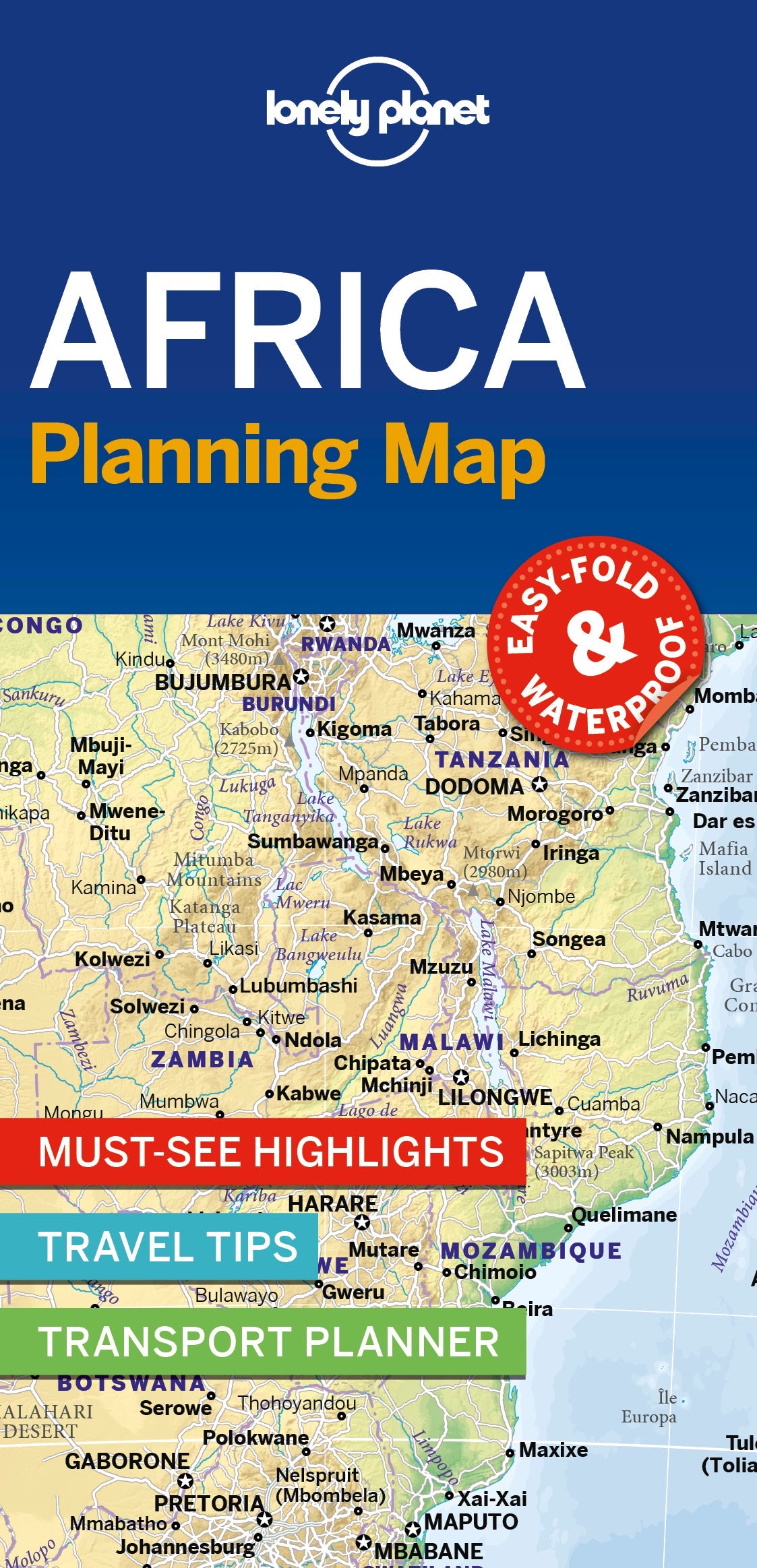
Durable and waterproof, with a handy slipcase and an easy-fold format, Lonely Planet’s Africa Planning Map helps you explore with ease.
Get more from your map and your trip with images and information about top attractions, itinerary suggestions and themed lists. With this easy-to-use, full-colour map in your back pocket, you can truly get to the heart of Africa – so begin your journey now!
- Easy-fold format
- Handy slipcase
- Full colour and easy to use
- Beautiful imagery
- Tailored itineraries
- Can’t-miss highlights
- Detailed town index
- Themed lists
Covers: Algeria, Angola, Benin, Botswana, Burkina Faso, Burundi, Cameroon, Cape Verde, Central African Republic, Chad, Comoros, Congo, Cote d'Ivoire, Democratic Republic of Congo, Djibouti, eSwatini (Swaziland), Egypt, Equatorial Guinea, Eritrea, Ethiopia, Gabon, The Gambia, Ghana, Guinea, Guinea-Bissau, Kenya, Lesotho, Liberia, Libya, Madagascar, Malawi, Mali, Mauritania, Mauritius, Morocco, Mozambique, Namibia, Niger, Nigeria, Rwanda, Senegal, Seychelles, Sierra Leone, Somalia, Somaliland, South Africa, South Sudan, Sudan, São Tomé and Príncipe, Tanzania, Togo, Tunisia, Uganda, Zambia, Zimbabwe
Writers: Lonely Planet
2 pages, 2pp color, 1 maps | Dimensions: 95mm × 197mm
Next edition due: Nov 2026
Add to your travels:

