


Lonely Planet
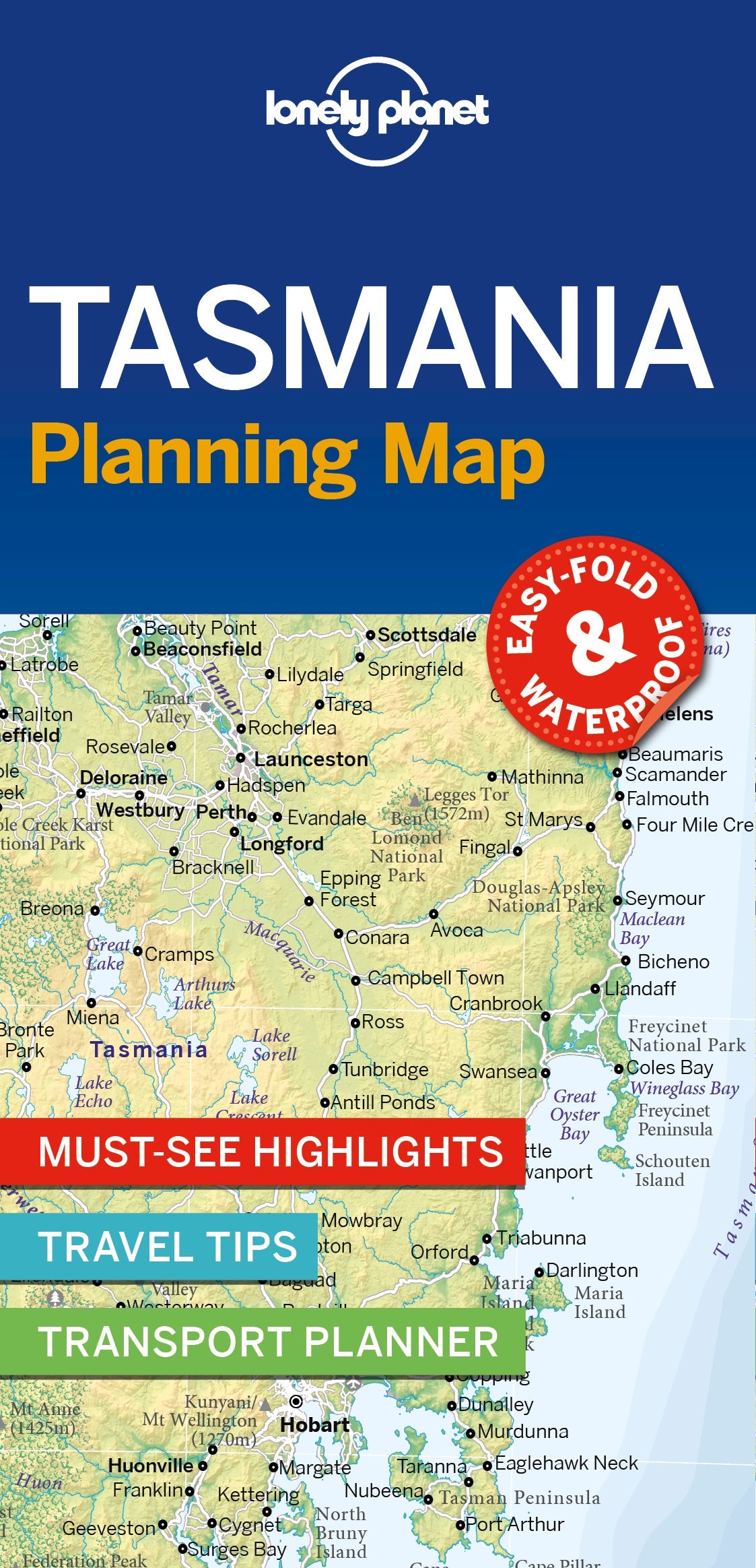
Tasmania Planning Map
Durable and waterproof, with a handy slipcase and an easy-fold format, Lonely Planet’s Tasmania Planning Map helps you explore with ease.
Get more from your map and your trip with images and information about top attractions, itinerary suggestions, a transport guide, planning information, themed lists and practical travel tips.
With this easy-to-use, full-colour map in your back pocket, you can truly get to the heart of Tasmania – so begin your journey now!
Covers Tasmania, King Island, Flinders Island
Looking for more extensive coverage? Check out Lonely Planet's Tasmania, our most comprehensive guidebook to the state, covering the top sights and most authentic offbeat experiences. Or check out Lonely Planet's Best of Australia, a concise visual guide highlighting the top experiences across the country.
Writers: Lonely Planet
2 pages, 2pp color, 1 maps | Dimensions: 95mm × 197mm
Next edition due: Sep 2024
Add to your travels: