


Lonely Planet
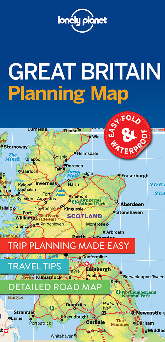
Great Britain Planning Map
Durable and waterproof, with a handy slipcase and an easy-fold format, Lonely Planet Great Britain Planning Map is your conveniently-sized passport to traveling with ease.
Get more from your map and your trip with images and information about top country attractions, itinerary suggestions, a transport guide, planning information, themed lists and practical travel tips. With this easy-to-use, full colour navigation tool in your back pocket, you can truly get to the heart of Great Britain, so begin your journey now!
Coverage Includes: London, Canterbury, Cambridge, Oxford, Cotswolds, Stratford-Upon-Avon, Stonehenge, Bath, Bristol, Cornwall, York, Lake District, Liverpool, Pembrokeshire, Cardiff, Brecon Beacons, Snowdonia, Edinburgh, Glasgow, Scottish Borders, Skye, Mull, Glen Coe, Northwest Highlands Coast, Scotland's whisky distilleries
Full Map Dimensions: 63.5 cm x 49.5 cm (25 in. x 19.5 in.)
Add to your travels:
