


Lonely Planet
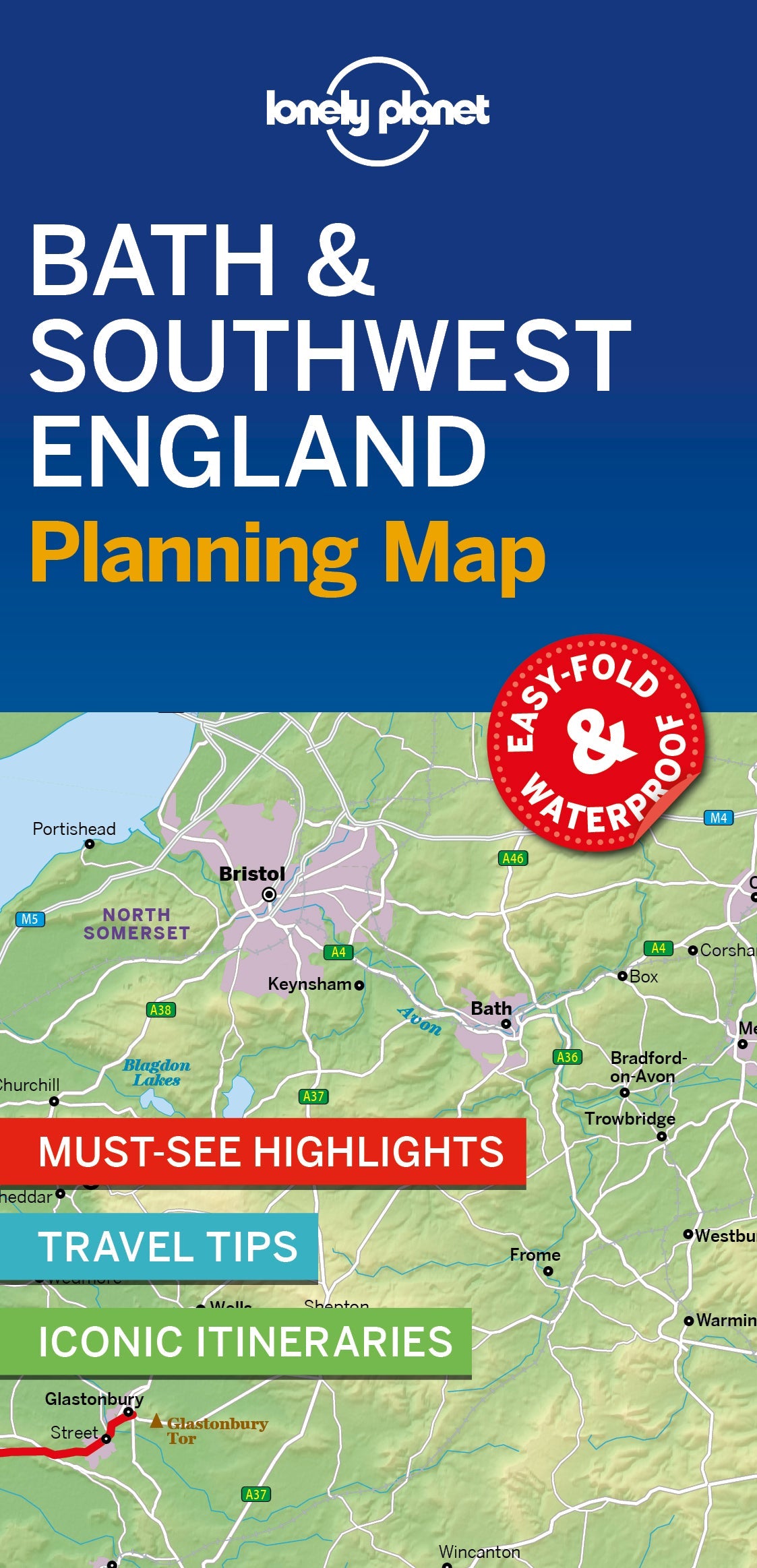
Bath & Southwest England Planning Map
Durable and waterproof, with a handy slipcase and an easy-fold format, Lonely Planet’s Bath & Southwest England Planning Map helps you get around with ease.
Get more from your map and your trip with images and information about top attractions, itinerary suggestions, a transport guide, planning information, themed lists and practical travel tips.
- Full-colour maps and images throughout
- Highlights and itineraries help you tailor your trip to your personal needs and interests
- Insider tips to save time and money and get around like a local, avoiding crowds and trouble spots
- Essential info at your fingertips - hours of operation, phone numbers, websites, transit tips, prices
- Honest reviews for all budgets - eating, sleeping, sightseeing, going out, shopping, hidden gems that most guidebooks miss
- Free, convenient pull-out map (included in print version), plus over 19 colour neighbourhood maps
- User-friendly layout with helpful icons, and organised by neighbourhood to help you pick the best spots to spend your time
Coverage Includes: Bath, Wiltshire, Somerset, and more
Book Details
ISBN: 9781787016927
Writers: Belinda Dixon, Oliver Berry, Damian Harper
160 pages, 160pp color, 17 maps | Dimensions: 106mm × 153mm
Next edition due: Apr 2023
Add to your travels:

You are viewing a Planning Map
What is a Planning Map?
Whether you're exploring a country or an entire continent, our durable and waterproof Planning maps come in an easy-fold design held inside a handy slipcase. Detailed and easy-to-read, they're printed in full colour to make travelling and trip planning a breeze. Country-focused, these show a whole nation at a glance, as well as its top regional sights and themed highlights