


Lonely Planet
Europe Planning Map
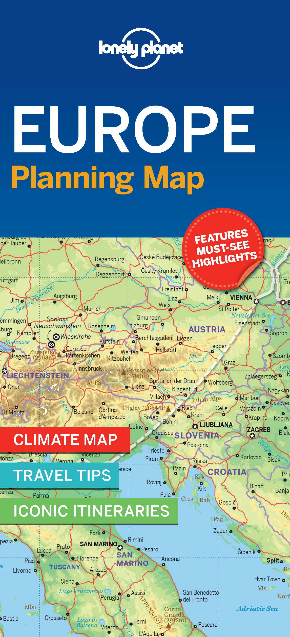
With an easy-fold, easy-to-use format, Lonely Planet Europe Planning Map is your conveniently-sized passport to traveling with ease. Get more from your map and your trip with images and information about top country attractions, itinerary suggestions and themed lists.
With this easy-to-use, full colour navigation tool in your back pocket, you can truly get to the heart of the Europe, so begin your journey now!
Themed lists
Coverage Includes: London, Paris, Berlin, Rome, Venice, Barcelona, Lisbon, Granada, Amsterdam, Vienna, the Matterhorn, Athens, Santorini, Istanbul, Budapest, Dubrovnik, Prague, Transylvania, British Isles, Western Europe, Central Europe, Mediterranean Europe, Eastern Europe, Scandinavia & the Baltic Sea
Check out Lonely Planet Europe, our most comprehensive guidebook to the continent, covering the top sights and most authentic offbeat experiences.
Add to your travels:

