


Lonely Planet
France Planning Map
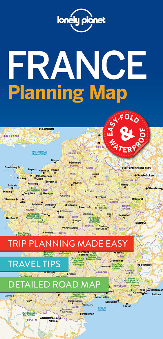
Durable and waterproof, with a handy slipcase and an easy-fold format, Lonely Planet France Planning Map is your conveniently-sized passport to traveling with ease.
Get more from your map and your trip with images and information about top country attractions, itinerary suggestions, a transport guide, planning information, themed lists and practical travel tips. With this easy-to-use, full colour navigation tool in your back pocket, you can truly get to the heart of France, so begin your journey now!
Coverage Includes: Paris, Champagne, Burgundy, Loire Valley, D-Day beaches, Brittany, Normandy, Bordeaux, Dordogne, Languedoc, Pyrenees, Marseille, Provence, French Riviera, Nice, Lyon, Grenoble, French Alps, Strasbourg, Colmar, Metz
Full Map Dimensions: 63.5 cm x 49.5 cm (25 in. x 19.5 in.)
Writers: Lonely Planet
2 pages, 2pp color, 1 maps | Dimensions: 95mm × 197mm
Next edition due: Apr 2024
Add to your travels:

