


Lonely Planet
New Zealand Planning Map
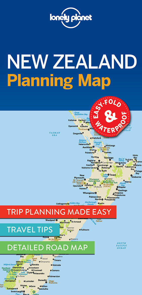
Durable and waterproof, with a handy slipcase and an easy-fold format, Lonely Planet New Zealand Planning Map is your conveniently-sized passport to traveling with ease.
Get more from your map and your trip with images and information about top country attractions, itinerary suggestions, a transport guide, planning information, themed lists and practical travel tips. With this easy-to-use, full colour navigation tool in your back pocket, you can truly get to the heart of New Zealand, so begin your journey now!
Coverage Includes: Auckland, Bay of Islands, Hauraki Gulf, Waiheke Island, Rotorua, Bay of Plenty, Coromandel Peninsula, Wellington, Abel Tasman National Park, Marlborough Wine Region, Taupo, Tongariro Alpine Crossing, Matamata, Waitomo, Otago Peninsula, Banks Peninsula, Christchurch, Kaikoura, Queenstown, Wanaka, Fiordland, Stewart Island, Aoraki/Mt Cook National Park, Tranzalpine Railway, South Island glaciers
Full Map Dimensions: 63.5 cm x 49.5 cm (25 in. x 19.5 in.)
Writers: Lonely Planet
2 pages, 2pp color, 1 maps | Dimensions: 95mm × 197mm
Next edition due: Sep 2025
Add to your travels:

