


Lonely Planet
Great Smoky National Park Planning Map
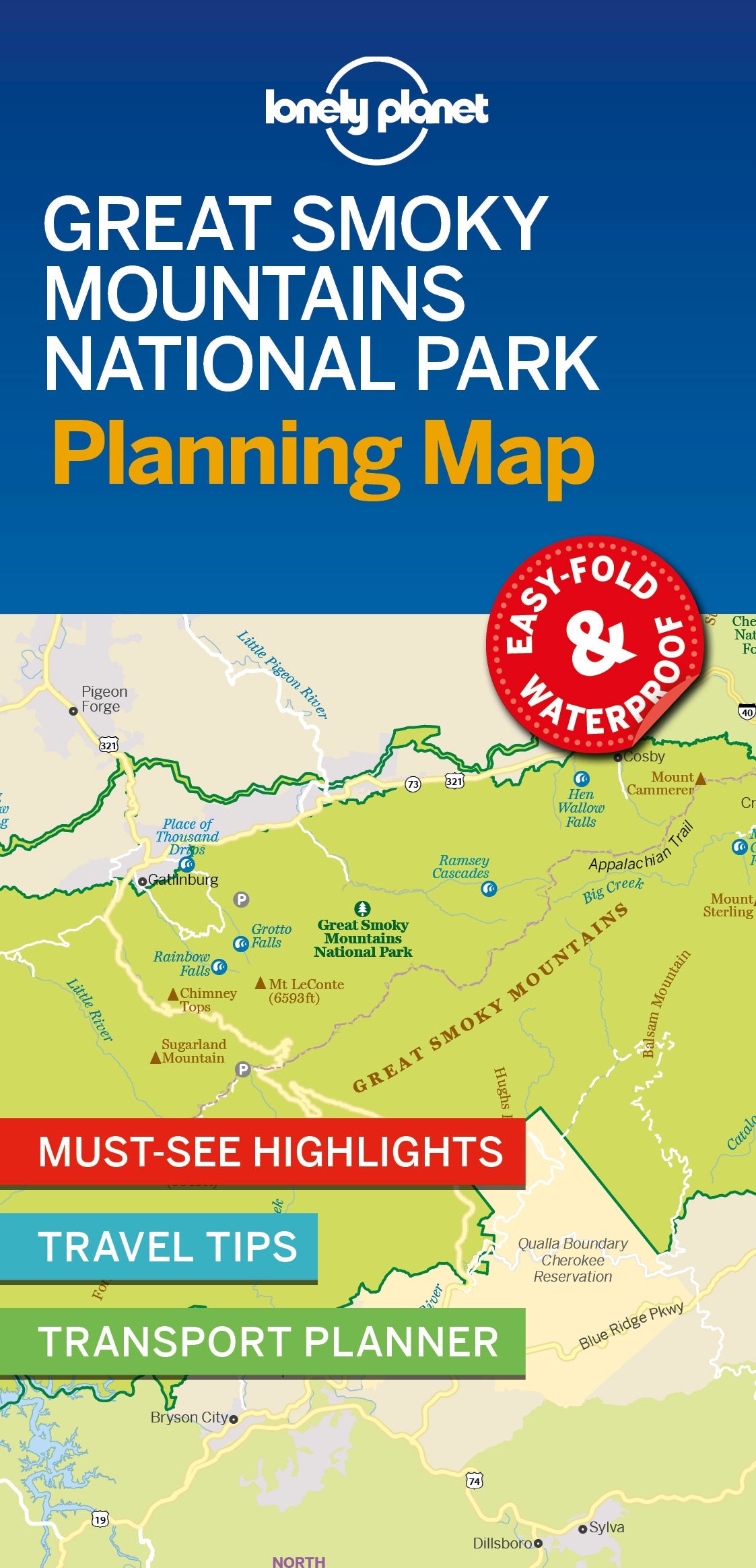
Durable and waterproof, with a handy slipcase and an easy-fold format, Lonely Planet’s Great Smoky Mountains National Park Planning Map helps you get around with ease.
Get more from your map and your trip with images and information about top attractions, itinerary suggestions, a transport guide, planning information, themed lists and practical travel tips.
Coverage Includes: Noah 'Bud' Ogle Nature Trail, Grotto Falls, Home of Ephraim Bales, Alfred Reagan Place, Place Of A Thousand Drips, Chimney Tops, Alum Cave Bluffs, Newfound Gap, Oconaluftee Valley Overlook, Mingus Mill, Sugarlands Visitor Center, Metcalf Bottoms Picnic Area, Townsend Wye, Great Smoky Mountains Institute At Tremont, Cades Cove
ISBN: 9781788685955
Writers: Lonely Planet
2 pages, 2pp color, 1 maps | Dimensions: 95mm × 197mm
Next edition due: Feb 2026
Writers: Lonely Planet
2 pages, 2pp color, 1 maps | Dimensions: 95mm × 197mm
Next edition due: Feb 2026
Add to your travels:


You are viewing a Planning Map
What is a Planning Map?
Whether you're exploring a country or an entire continent, our durable and waterproof Planning maps come in an easy-fold design held inside a handy slipcase. Detailed and easy-to-read, they're printed in full colour to make travelling and trip planning a breeze. Country-focused, these show a whole nation at a glance, as well as its top regional sights and themed highlights