


Lonely Planet
Sydney City Map
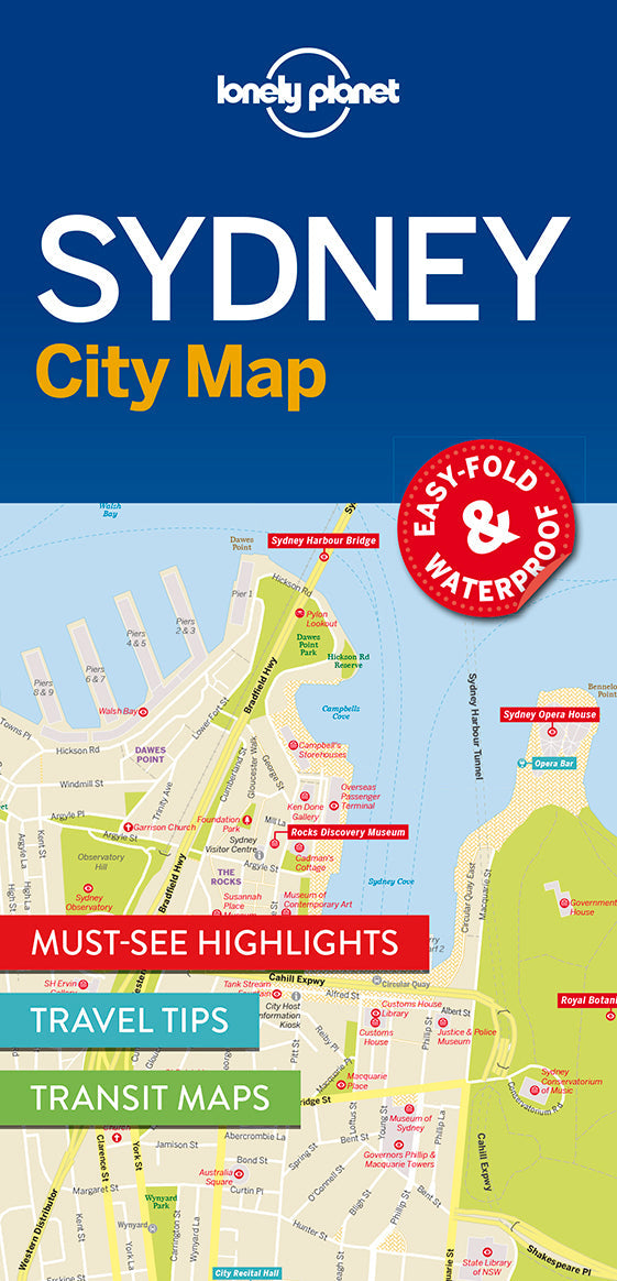
Durable and waterproof, with a handy slipcase and an easy-fold format, Lonely Planet Sydney City Map is your conveniently-sized passport to traveling with ease.
Get more from your map and your trip with images and information about top city attractions, transport maps, itinerary suggestions, extensive street and site index, and practical travel tips and directory. With this easy-to-use, full colour navigation tool in your back pocket, you can truly get to the heart of Sydney, so begin your journey now!
Covers: Balgowlah Heights, Balmain, Balmain East, Balmoral, Bondi, Bronte, Castlecrag, Chatswood, Chinatown, Chippendale, City Centre, Cremorne, Crows Nest, Darling Harbour, Darlinghurst, Dawes Point, Double Bay, Dover Heights, East Sydney, Elizabeth Bay, Fairlight, Garden Island, Glebe, Haymarket, Kings Cross, Kirribilli, Manly, McMahons Point, Millers Point, Milsons Point, Moore Park, Mosman, Neutral Bay, North Sydney, Northbridge, Paddington, Point Piper, Potts Point, Pyrmont, Queens Park, Redfern, Rose Bay, Seaforth, Surry Hills, Sydney, The Rocks, Ultimo, Vaucluse, Watsons Bay, Willoughby, Woolloomooloo
Check out Lonely Planet Sydney, our most comprehensive guidebook to the city, covering the top sights and most authentic off-beat experiences. Or check out Lonely Planet Pocket Sydney, a handy-sized guide focused on the can't-miss experiences for a quick trip.
Full Map Dimensions: 62.9 cm x 49.5 cm (24.5 in. x 19.5 in.)
Writers: Lonely Planet
2 pages, 2pp color, 1 maps | Dimensions: 95mm × 197mm
Next edition due: Sep 2024