


Lonely Planet
USA Planning Map
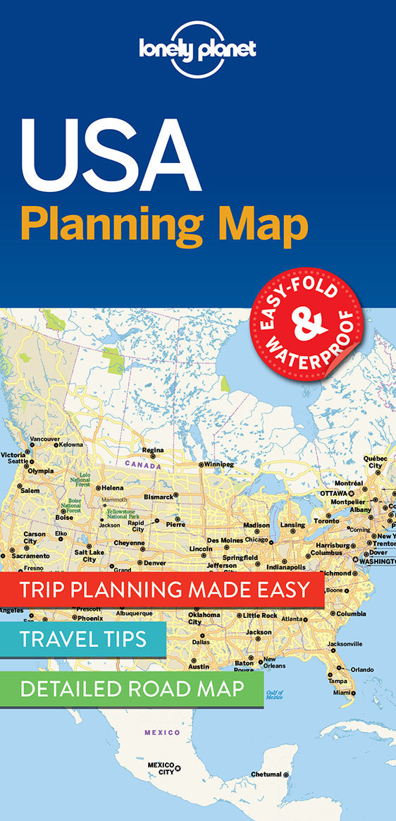
Durable and waterproof, with a handy slipcase and an easy-fold format, Lonely Planet USA Planning Map is your conveniently-sized passport to traveling with ease.
Get more from your map and your trip with images and information about top country attractions, itinerary suggestions, a transport guide, planning information, themed lists and practical travel tips. With this easy-to-use, full colour navigation tool in your back pocket, you can truly get to the heart of the USA, so begin your journey now!
Coverage Includes: New York City, Washington, DC, Boston, New England, Walt Disney World, Miami, The Everglades, New Orleans, Nashville, Blue Ridge Parkway, Las Vegas, Grand Canyon National Park, Austin & San Antonio, Los Angeles, Pacific Coast Highways, San Francisco, Seattle, Chicago, Yellowstone National Park, Rocky Mountains, Route 66, Great Lakes
Full Map Dimensions: 63.5 cm x 49.5 cm (25 in. x 19.5 in.)