


Lonely Planet
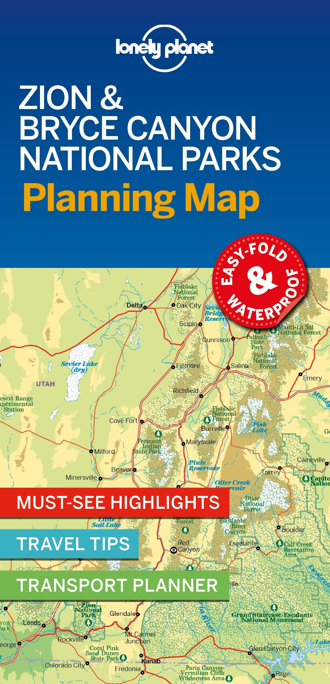
Zion & Bryce Canyon National Parks Planning Map
Durable and waterproof, with a handy slipcase and an easy-fold format, Lonely Planet’s Zion & Bryce Canyon National Parks Planning Map helps you get around with ease.
Get more from your map and your trip with images and information about top attractions, itinerary suggestions, a transport guide, planning information, themed lists and practical travel tips.
Coverage Includes: Zion Canyon, Zion National Park, Angels Landing, The Narrows, Emerald Pools, Zion Canyon Scenic Drive, Bryce National Park, Navajo Loop Trail, Fairyland Loop Trail, Inspiration Point, Standalone Pois, Red Canyon, Kolob Terrace Rd, Zion National Park, Southwestern Desert, Zion National Park, Kolob Canyons, Zion National Park, East Zion, Zion National Park
Writers: Lonely Planet
2 pages, 2pp color, 1 maps | Dimensions: 95mm × 197mm
Next edition due: Feb 2026
Add to your travels:
