


Lonely Planet
Wales Planning Map
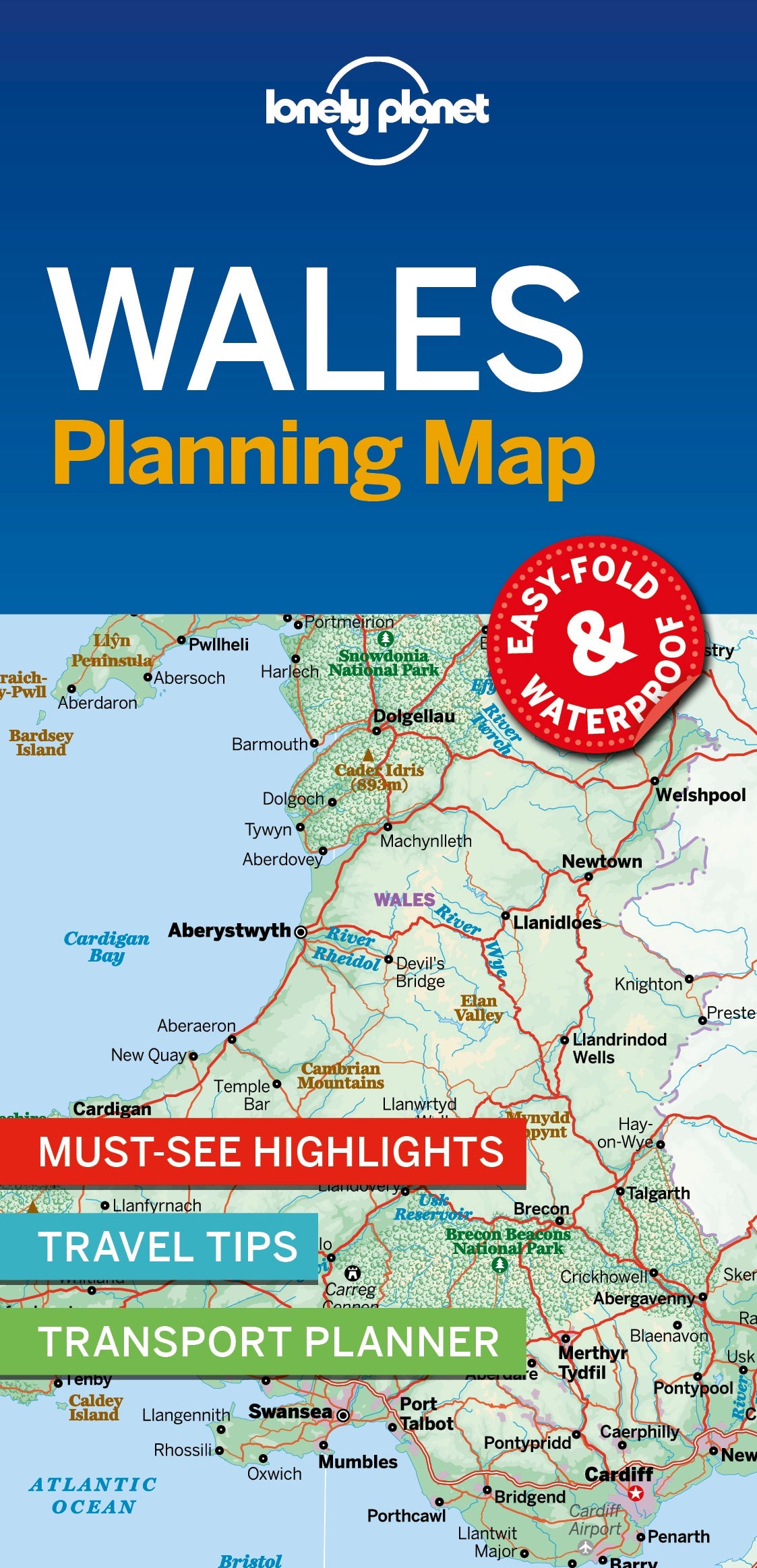
Durable and waterproof, with a handy slipcase and an easy-fold format, Lonely Planet’s Wales Planning Map helps you get around with ease.
Get more from your map and your trip with images and information about top attractions, itinerary suggestions, a transport guide, planning information, themed lists and practical travel tips.
Coverage Includes: Cardiff, Brecon Beacons, Swansea, the Gower, Carmarthenshire, Pembrokeshire, Aberystwyth, Snowdonia, Anglesey and more
ISBN: 9781788686129
Writers: Lonely Planet
2 pages, 2pp color, 1 maps | Dimensions: 95mm × 197mm
Next edition due: May 2025
Writers: Lonely Planet
2 pages, 2pp color, 1 maps | Dimensions: 95mm × 197mm
Next edition due: May 2025
Add to your travels:

Sold out

Sold out
You are viewing a Planning Map
What is a Planning Map?
Whether you're exploring a country or an entire continent, our durable and waterproof Planning maps come in an easy-fold design held inside a handy slipcase. Detailed and easy-to-read, they're printed in full colour to make travelling and trip planning a breeze. Country-focused, these show a whole nation at a glance, as well as its top regional sights and themed highlights