


Lonely Planet
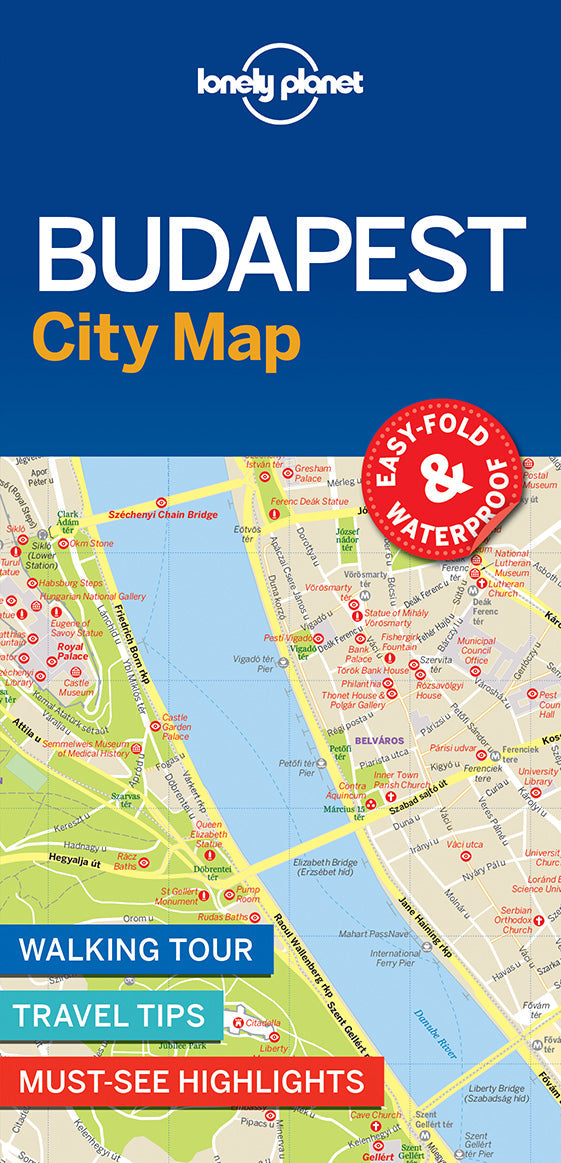
Budapest City Map
Durable and waterproof, with a handy slipcase and an easy-fold format, Lonely Planet Budapest City Map is your conveniently-sized passport to traveling with ease.
Get more from your map and your trip with images and information about top city attractions, walking tour routes, transport maps, itinerary suggestions, extensive street and site index, and practical travel tips and directory. With this easy-to-use, full colour navigation tool in your back pocket, you can truly get to the heart of Budapest, so begin your journey now!
Coverage Includes: Angyalfold, Belvaros, Castle Hill (Varhegy), Erzsebetvaros, Felheviz, Gellert Hill (Gellert-Hegy), Jozsefvaros, Krisztinavaros, Lipotvaros, Loportardulo, Matyashegy, Obuda, Orszagut, Remetehegy, Rozsadomb, Taban, Terezvaros, Ujlak, Ujlipotvaros, Varos-Liget, Vizafogo, Vizivaros
Check out Lonely Planet Budapest & Hungary travel guide, our most comprehensive guidebook to the city, covering the top sights and most authentic off-beat experiences. Or check out Lonely Planet Pocket Budapest, a handy-sized guide focused on the can't-miss experiences for a quick trip.
Writers: Lonely Planet
2 pages, 2pp color, 1 maps | Dimensions: 95mm × 197mm
Next edition due: Dec 2023
Add to your travels: